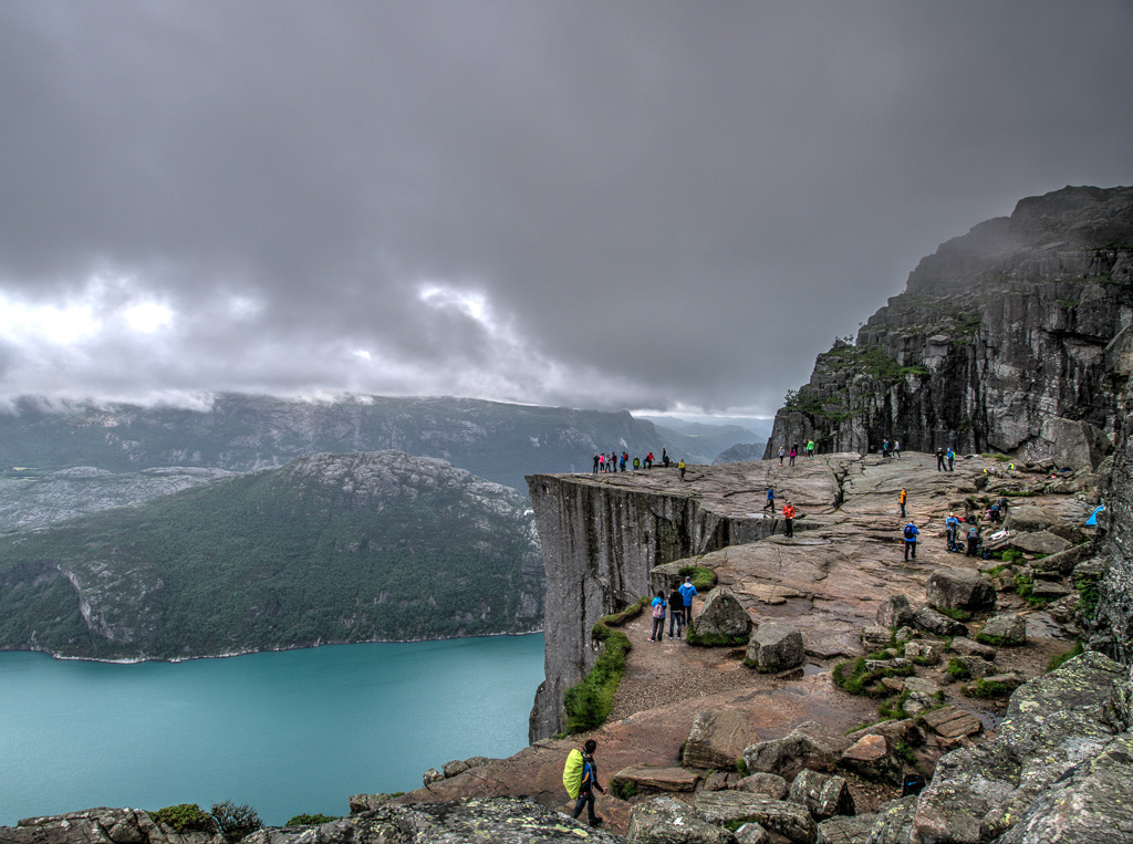
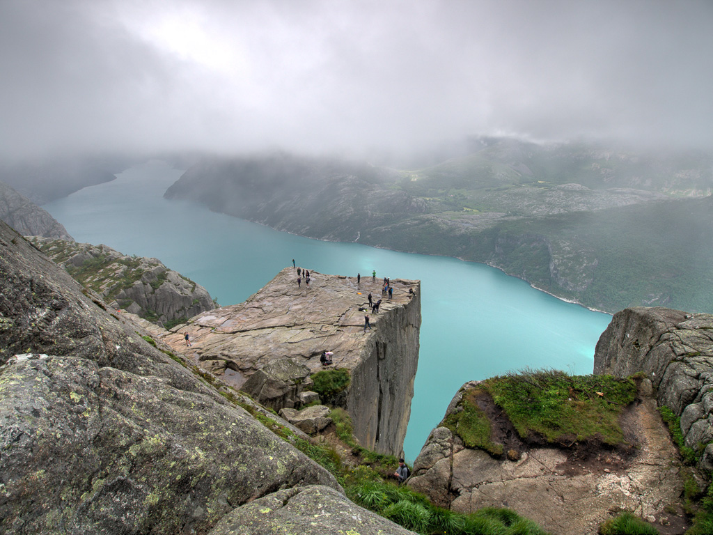
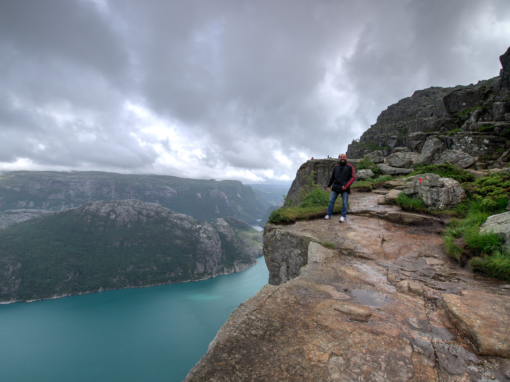
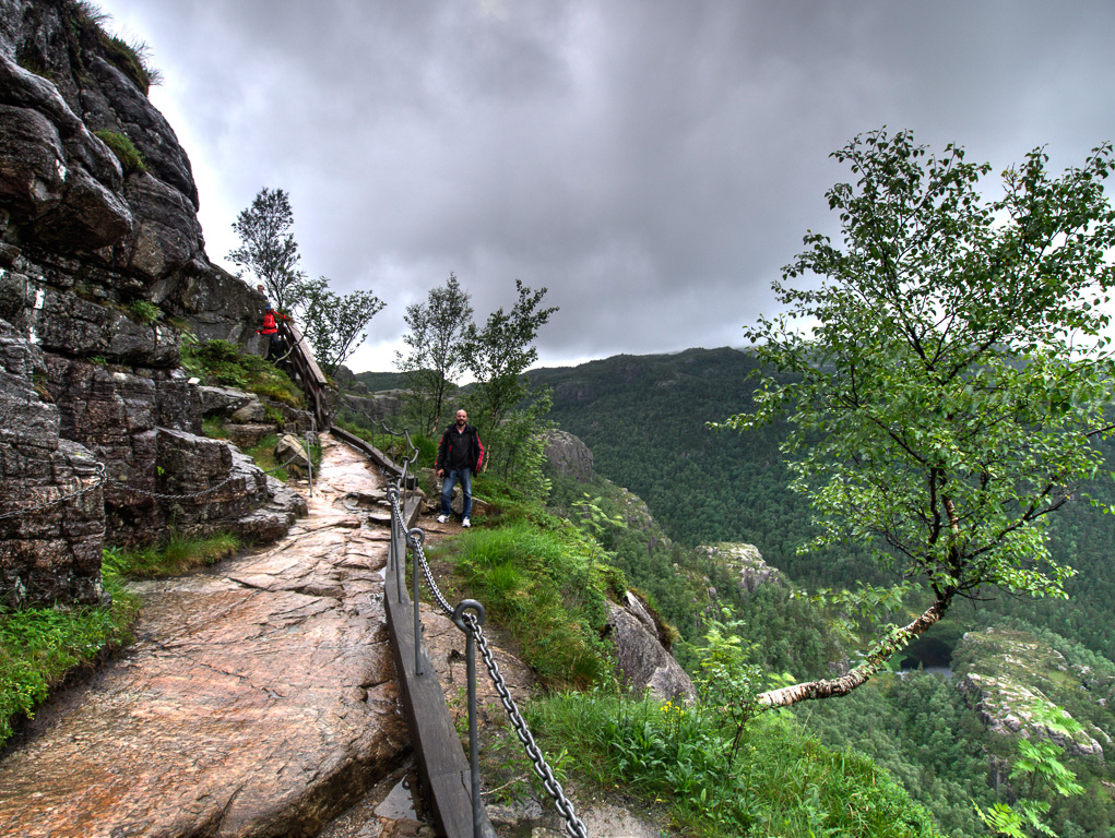
Unfortunately it was still raining this morning. We just stayed in our sleeping bags for ages and had already written off the climb to Preikestolen. In the afternoon it cleared up a bit and since we had booked the hut for 2 nights anyway, we set off. At 4 p.m. we finally stood at the bottom of Preikestolen. According to the sign, 3.8 km and 330 m in altitude through scree and rocks take approx. 2 hours. That didn’t work for us and we quickly sprinted up in 1:15 🙂 We even climbed a few meters higher because I wanted to photograph Preikestolen from above. The impressions were indescribable and we were lucky again that it didn’t start raining again until we were down there. We’re pretty well done today. Tomorrow we continue to Kristiansand, which will be our last destination in Norway.
Preikestolen
Preikestolen
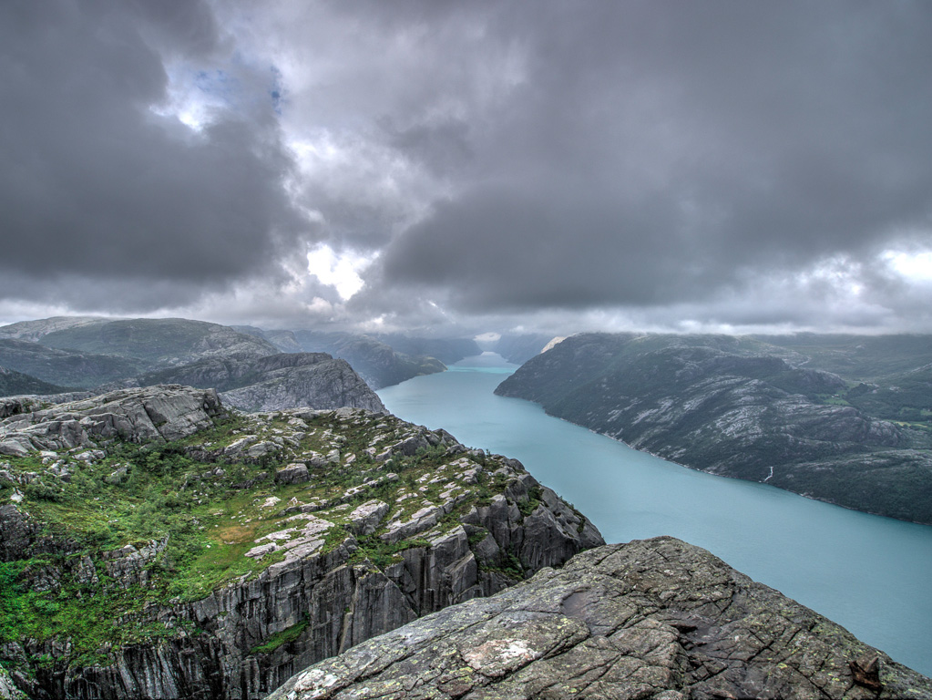
Fjord – Preikestolen
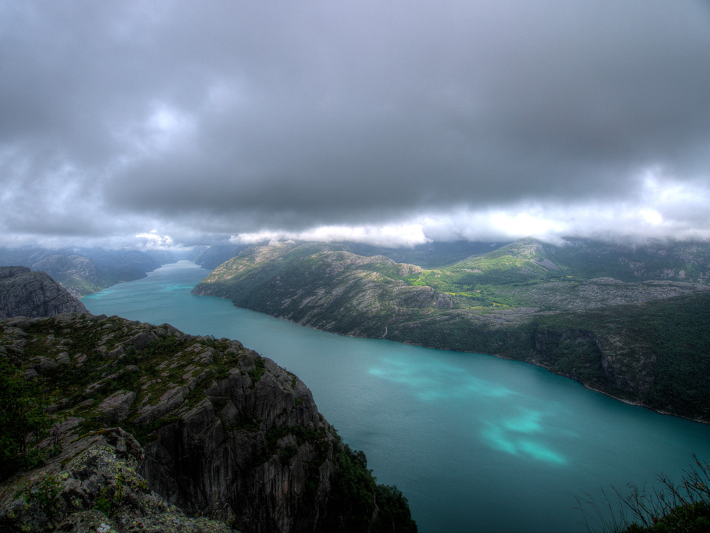
Fjord – Preikestolen
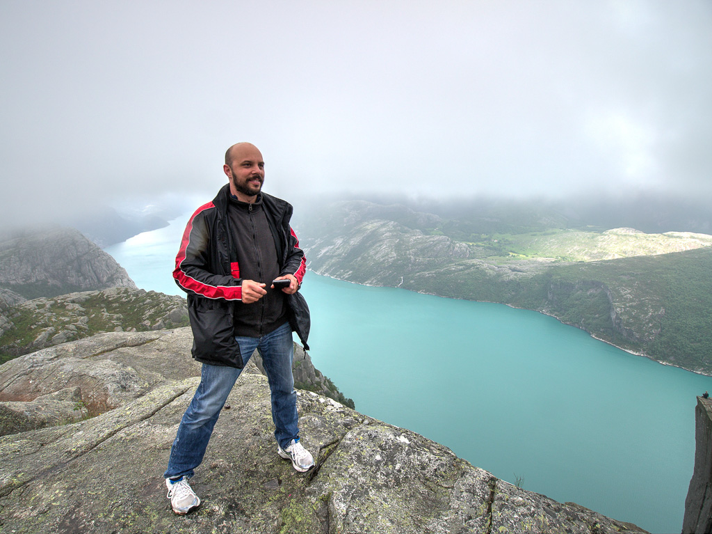
Dirk – Preikestolen
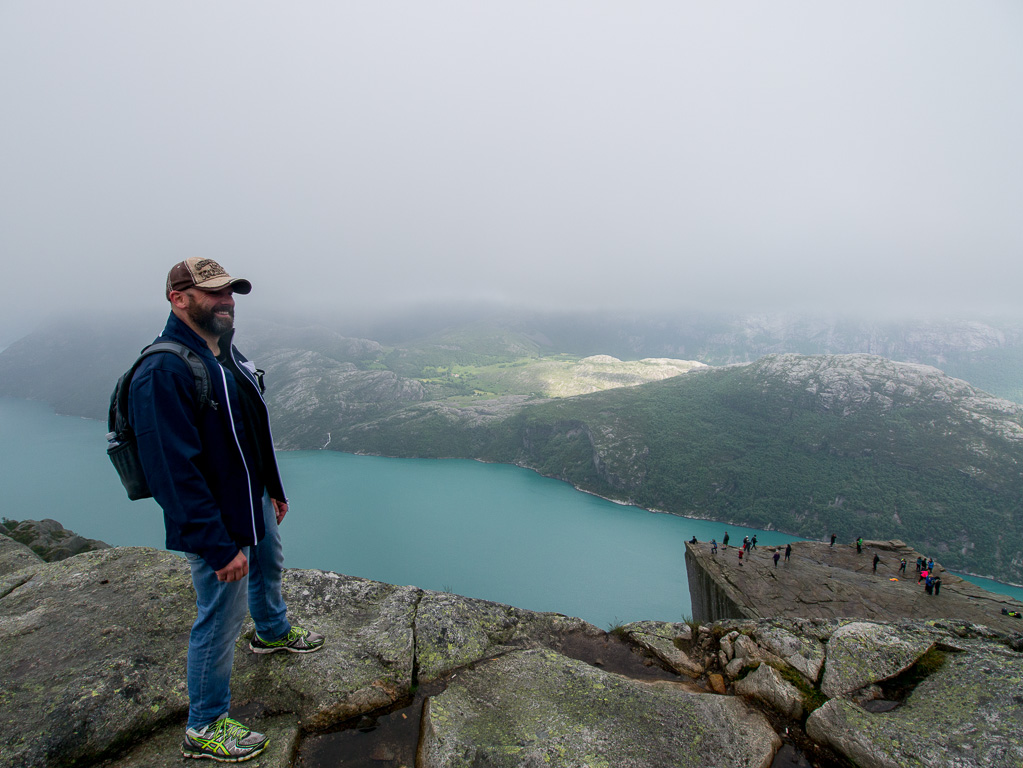
Joe – Preikestolen
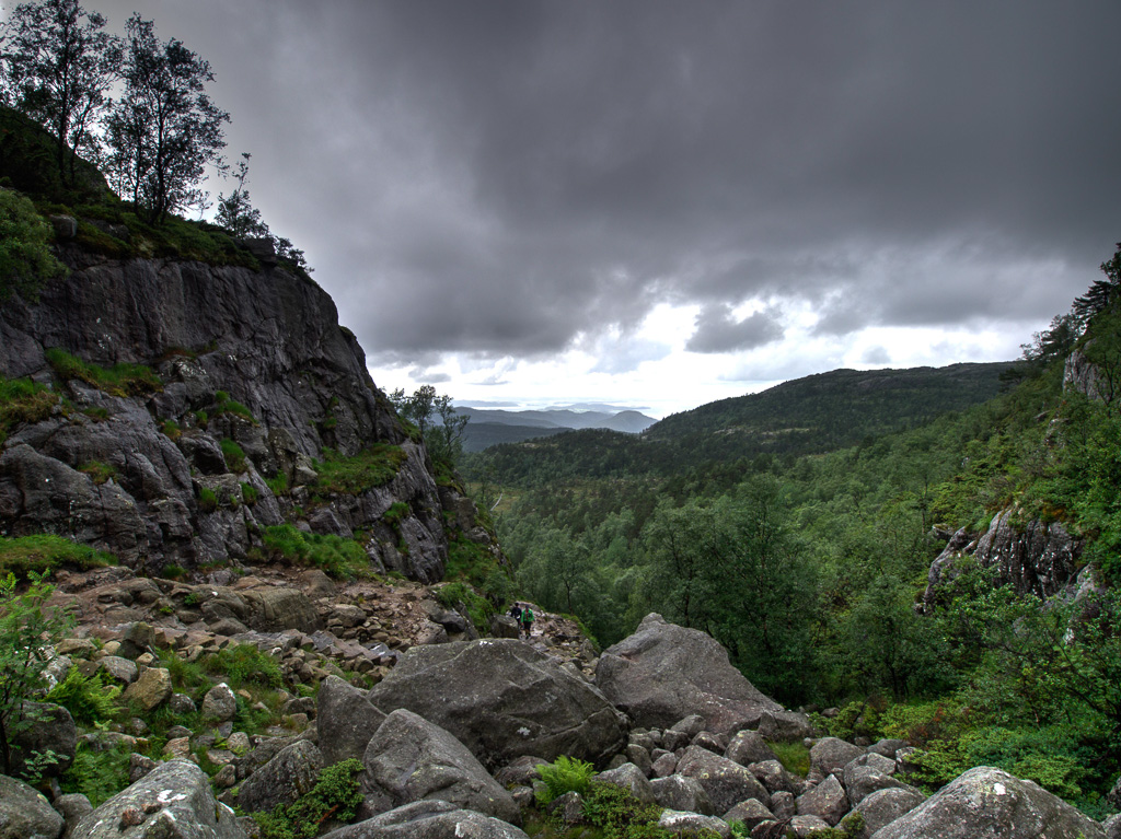
Climb to Preikestolen
Last piece to Preikestolen
Climb to Preikestolen
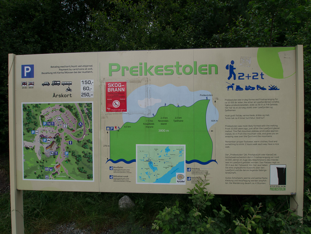
Preikestolen sign
…we covered the following route today: ship, motorbike, on foot 🙂
Max elevation: 616 m
Min elevation: -23 m
Total climbing: 1303 m
Total descent: -1428 m
Total time: 09:26:13