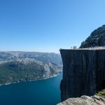
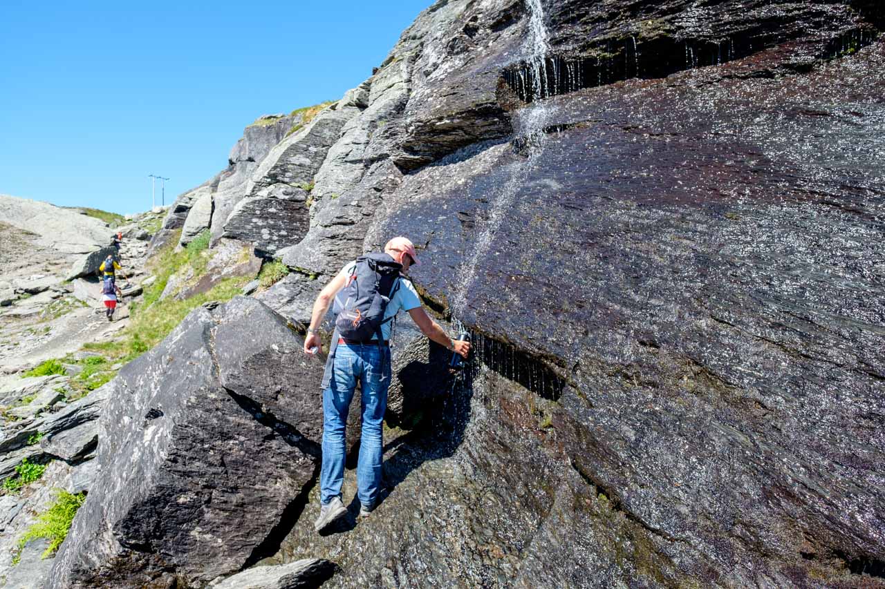
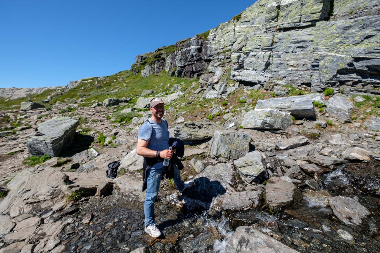
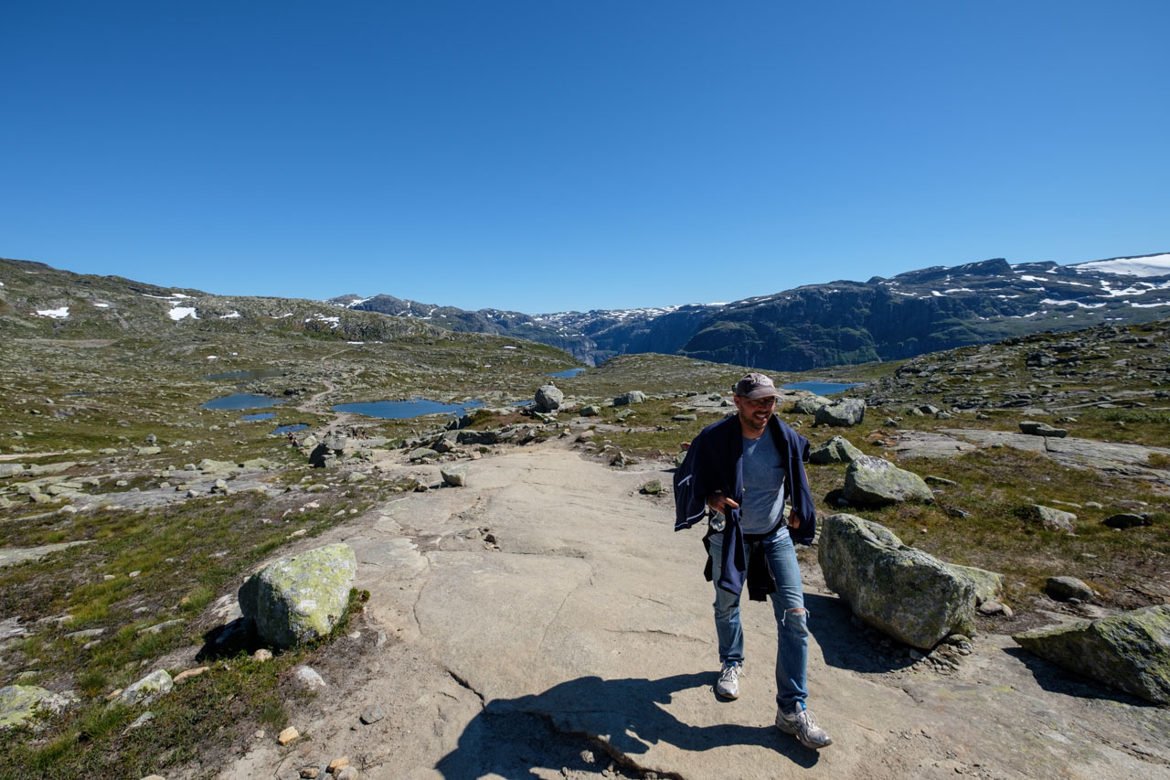
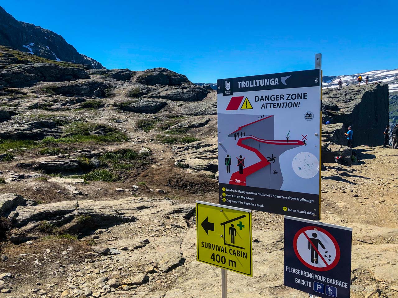
Sensational! Today we hiked to Trolltunga (Troll’s Tongue) and back. We parked our vehicles and, as recommended, started the ascent to Trolltunga at 8:00 AM. The one-way trail stretches over 14 km and ascends more than 1000 meters in elevation. After the first few kilometers, we split up because I wanted to see how fast I could make it to the top. In the end, my time was 2:56 hours. Along the way, we saw many weary faces and believe that the hike is often underestimated. At the top, we had a snack, let the drone fly, built cairns, and then descended. The sun was so intense in the afternoon that we were relieved when we finally reached the bottom after 28 km. Now we have a nice cabin in the area near Odda, just past the Latefoss waterfalls, where we’re resting. Tomorrow we’re heading to Preikestolen!
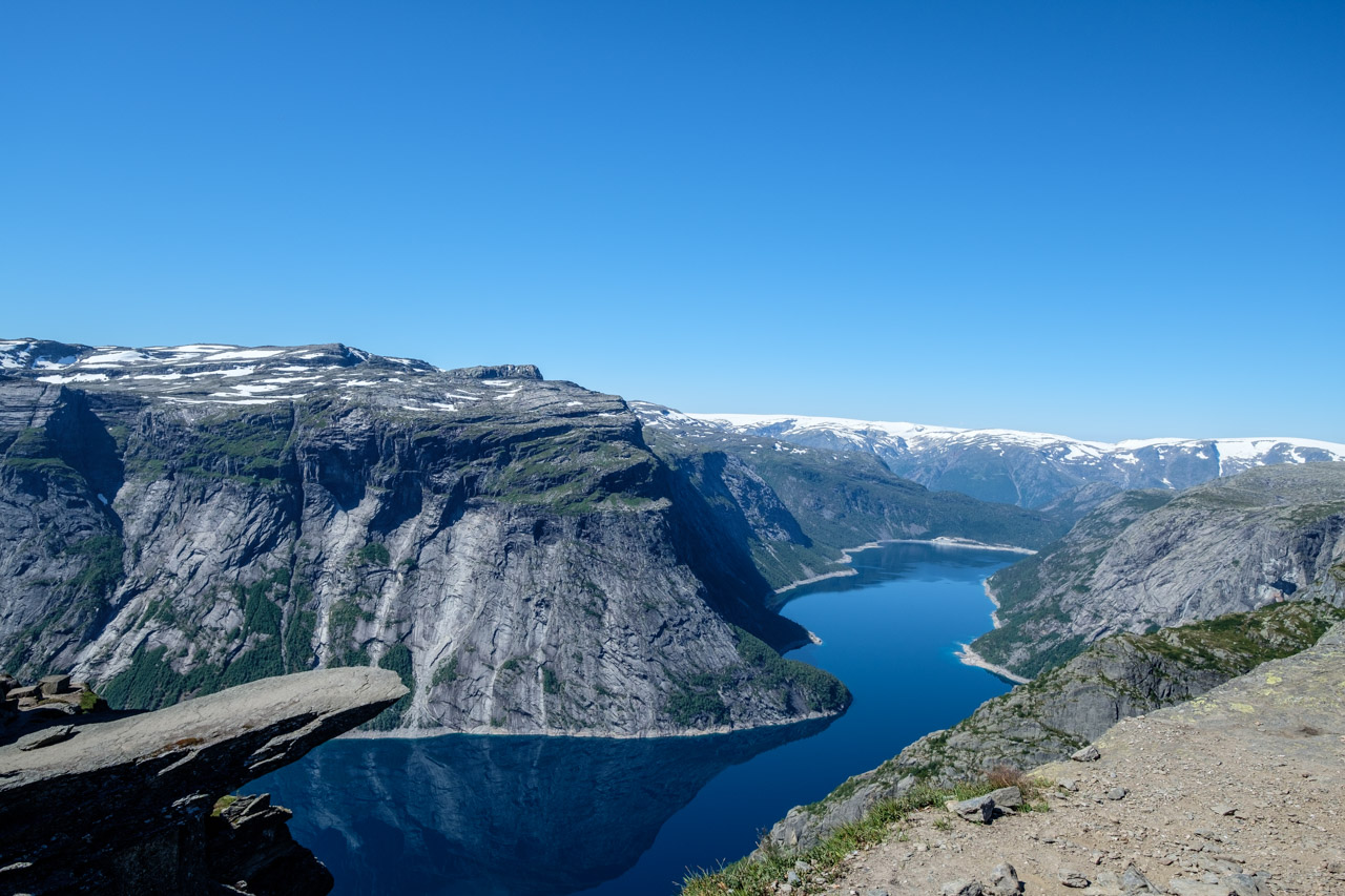
Trolltunga
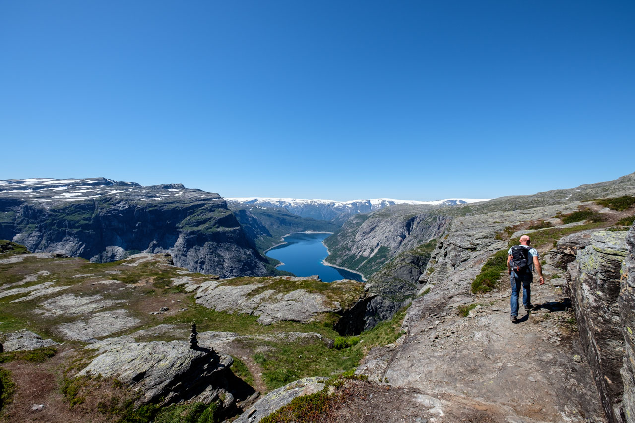
Trolltunga
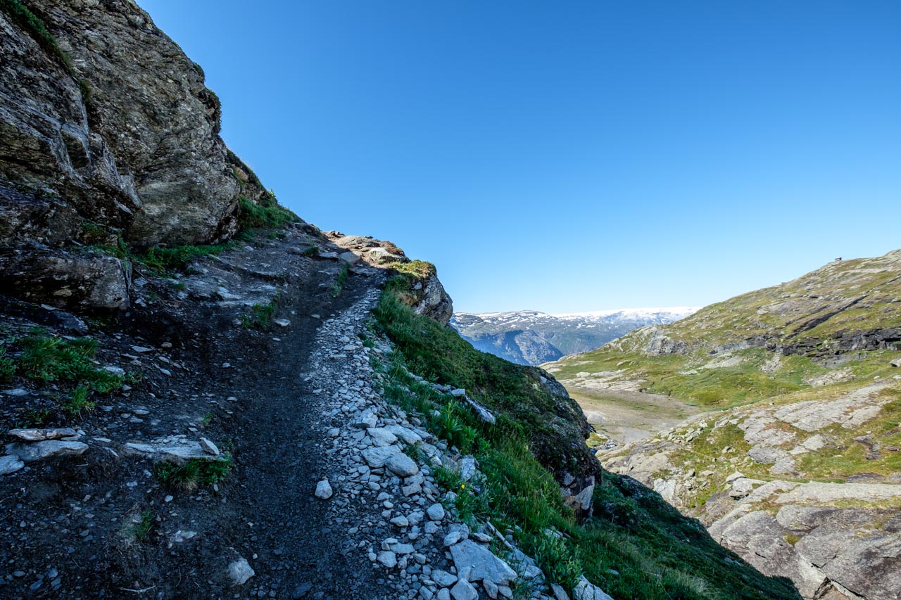
Trolltunga
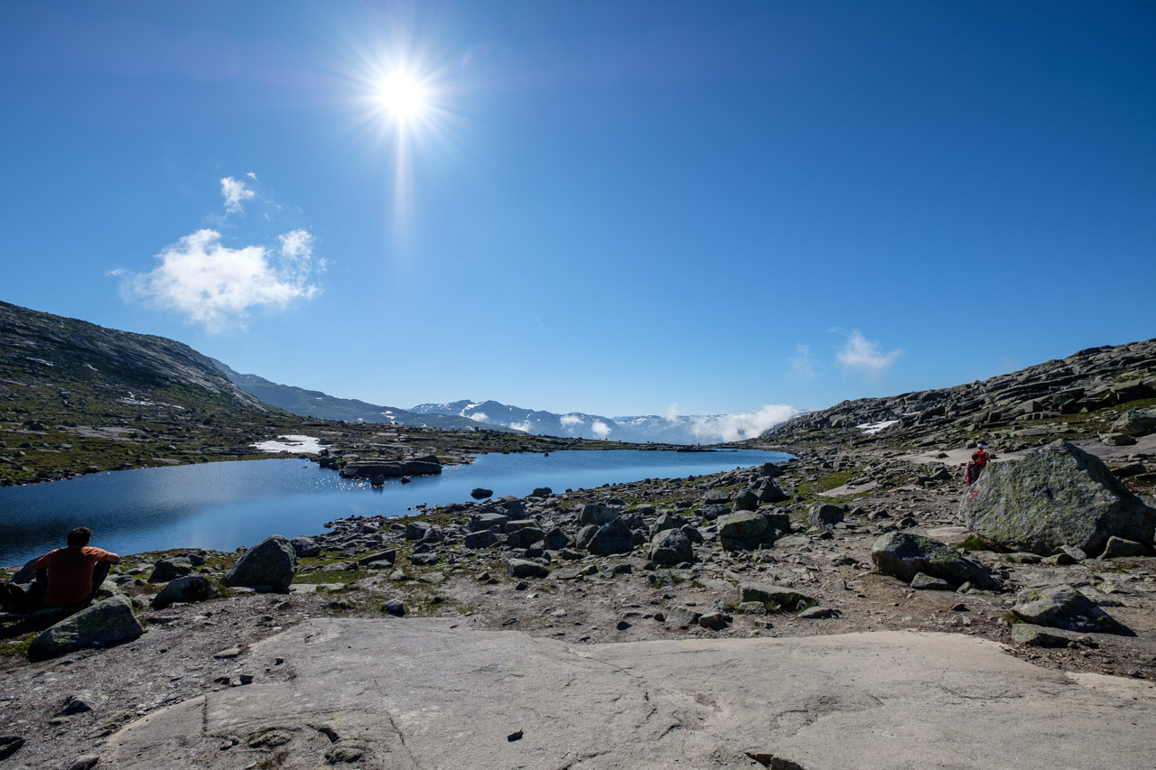
Trolltunga
Trolltunga
Trolltunga
Trolltunga
Trolltunga
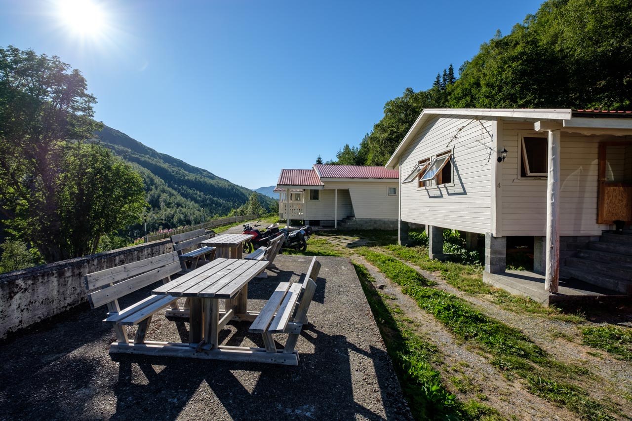
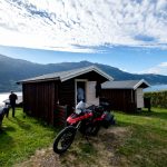
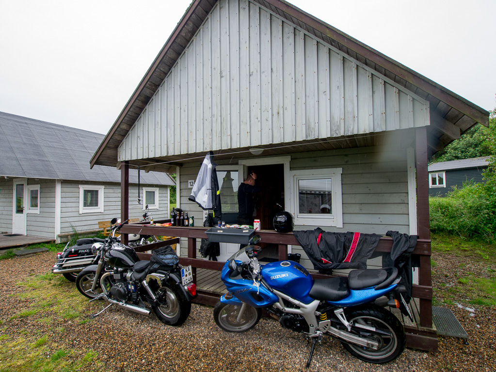
Cabin behind Odda
We drove the following route today:
Total time: 11:33:12